

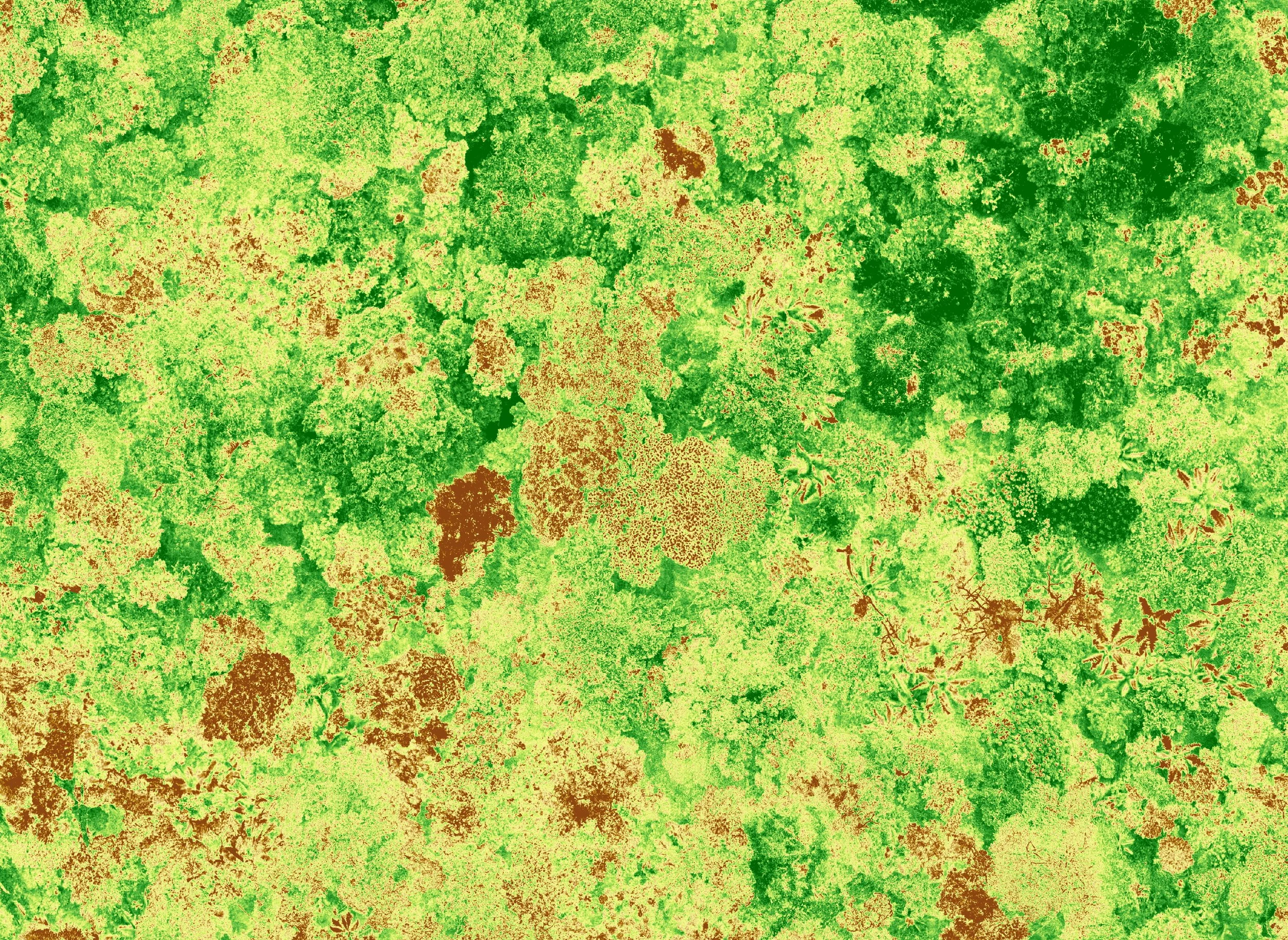
Engineering better tools for field conservation.
Bringing the right technology to get the data conservation needs..

Conservation has a Scale Problem.
Good conservation relies on quality data, but cost, complexity, and lack of tailored solutions leave conservationists with slow, outdated, and ineffective technology.
But the right tools already exist in the private sector, and they can help conservationists scale up their impact to meet the scale of the problems they seek to solve.
CTA is a non-profit engineering consultancy bringing leading technology and field science together to help conservationists accelerate and improve the slowest parts of data collection.
Our Strategy.
We co-create solutions with conservationists and scientists to find the right tool for their problem without reinventing the wheel.
-
Solve the core problem a partner is trying to solve at the highest level.
We leverage existing solutions and develop new tools when needed.
Our experts work with partners to find the best way to answer questions about wildlife with technology.
-
CTA engineers work directly with partners to iteratively develop, test, and deploy solutions that work for their use-case.
We don’t parachute in and tell you what to do, we work together to find the best solution to your problem.
-
Each tool, technique, and workflow we create can be adapted and transferred to new conservation problems, gaining momentum with every new partner.
Case Studies.

Identifying every tree in a reserve.
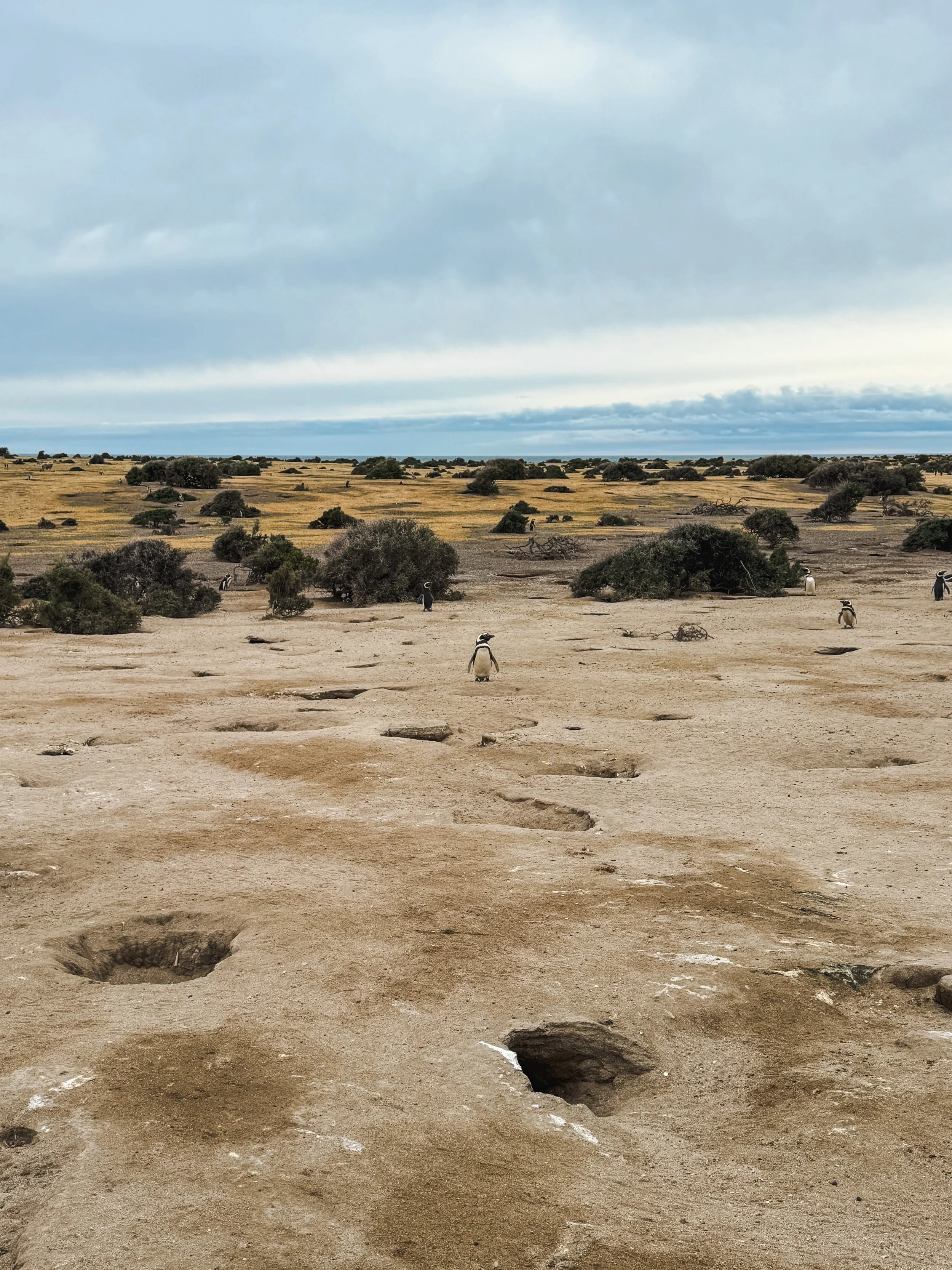
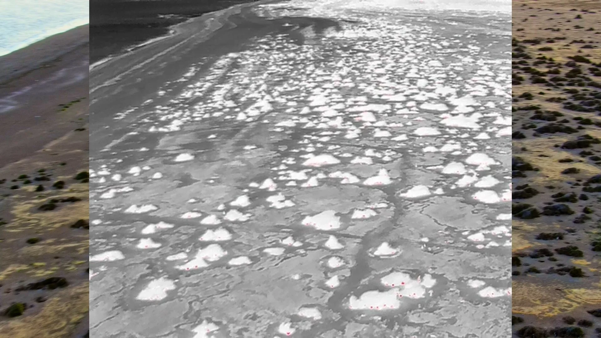
Counting 1,000,000 underground penguins.
Our Approach.
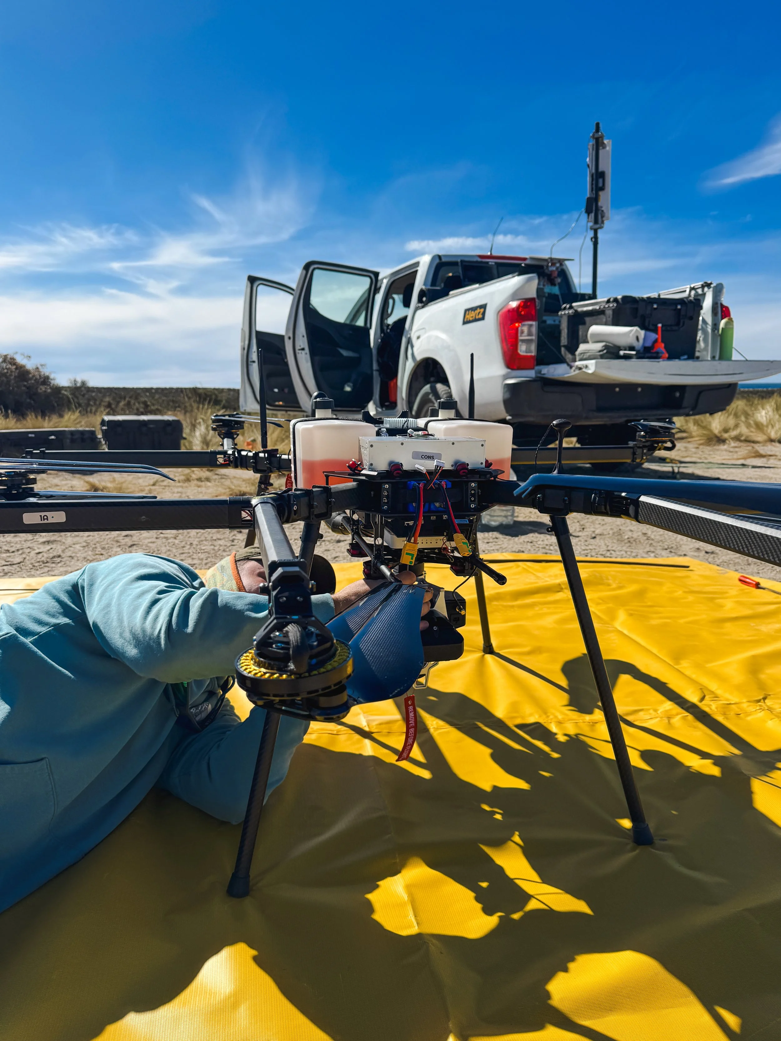
We handle the hardware.
By taking on the cost and responsibility ourselves, CTA ensures that conservationists aren’t burdened with expensive or complex technology.
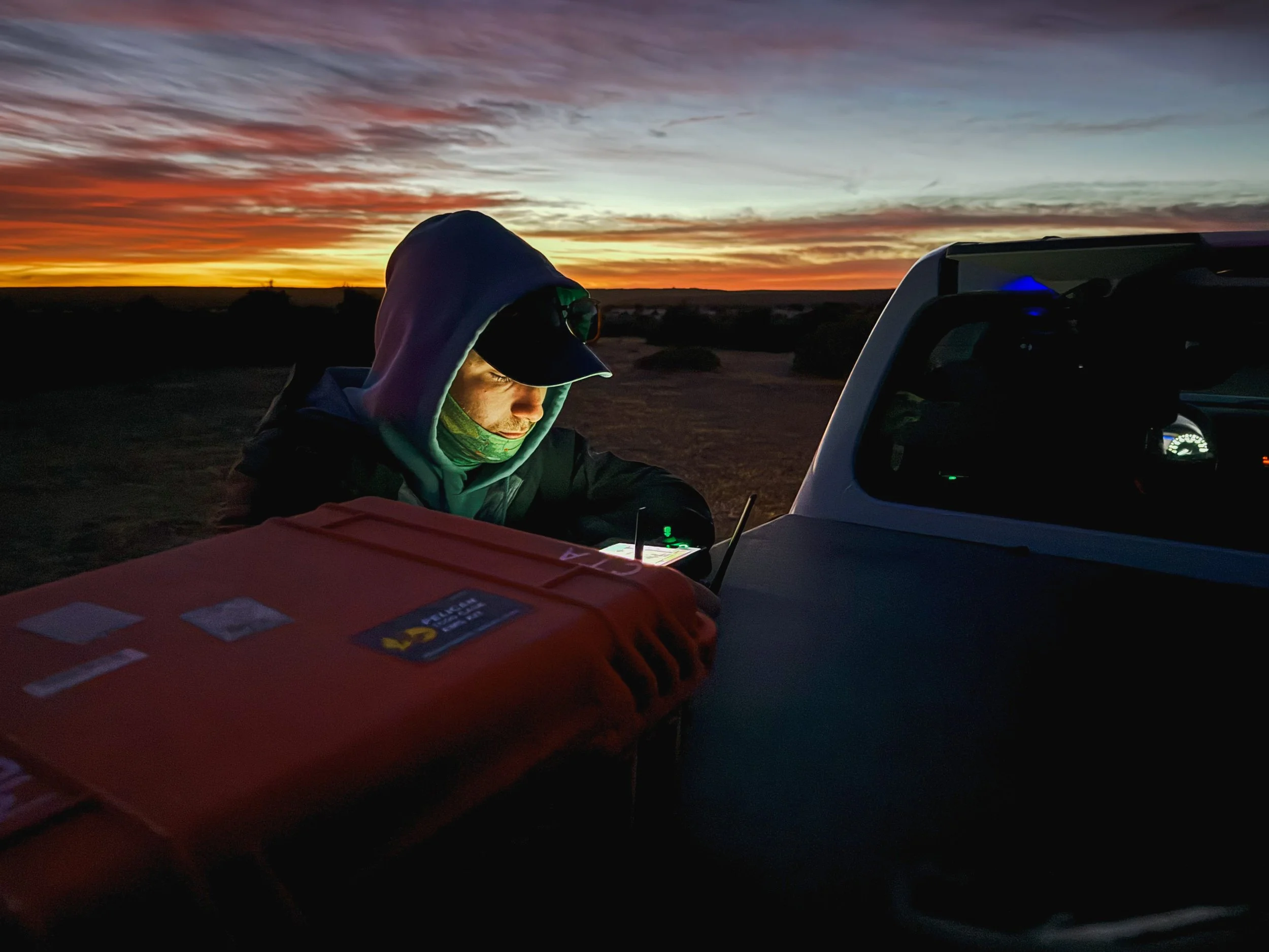
We operate and maintain the tech.
Conservationists need to focus on their mission without worrying about upkeep, maintenance, or technical hurdles.
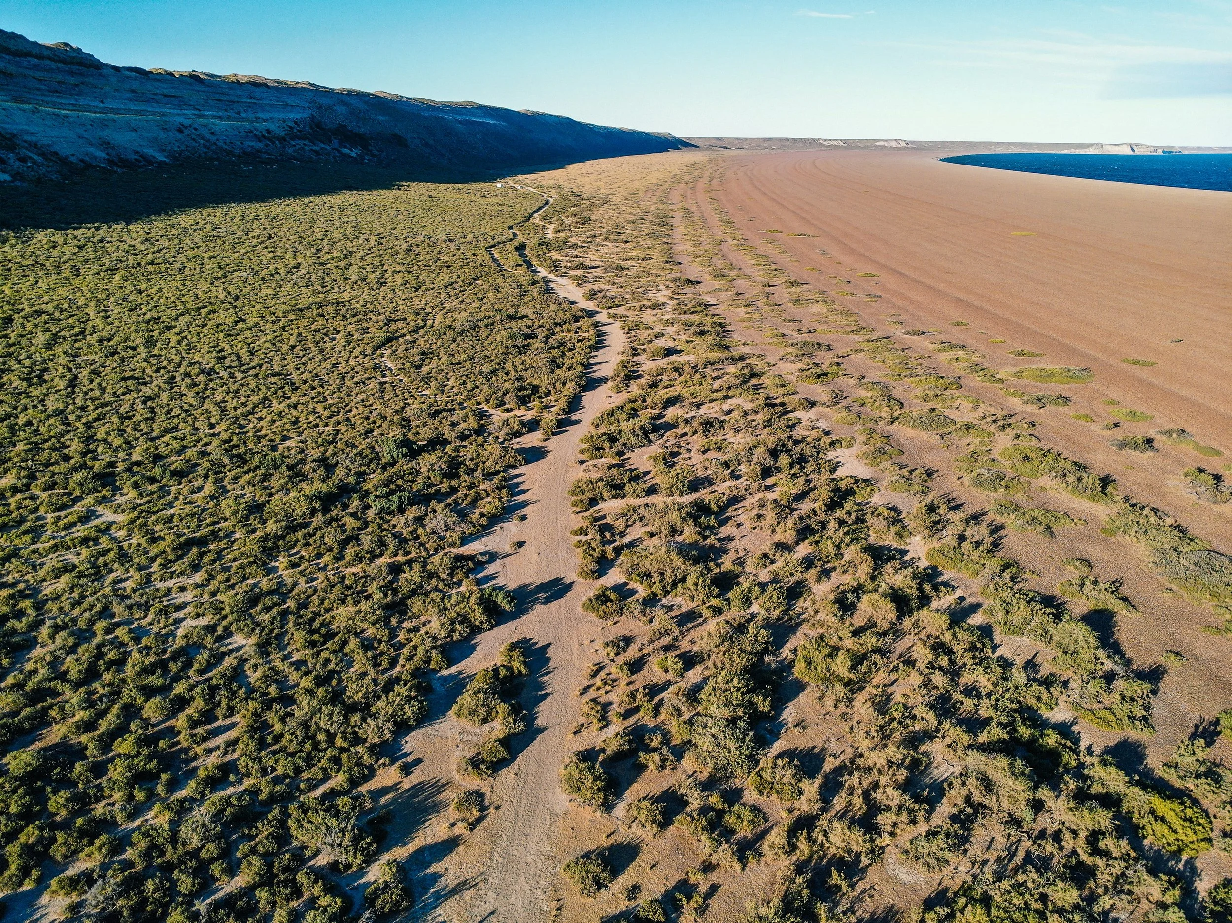
We ensure that conservation is a priority in tech development.
Leading tech doesn’t consider the needs of conservationists, so CTA represents conservation amid new innovations.
Our Solutions.
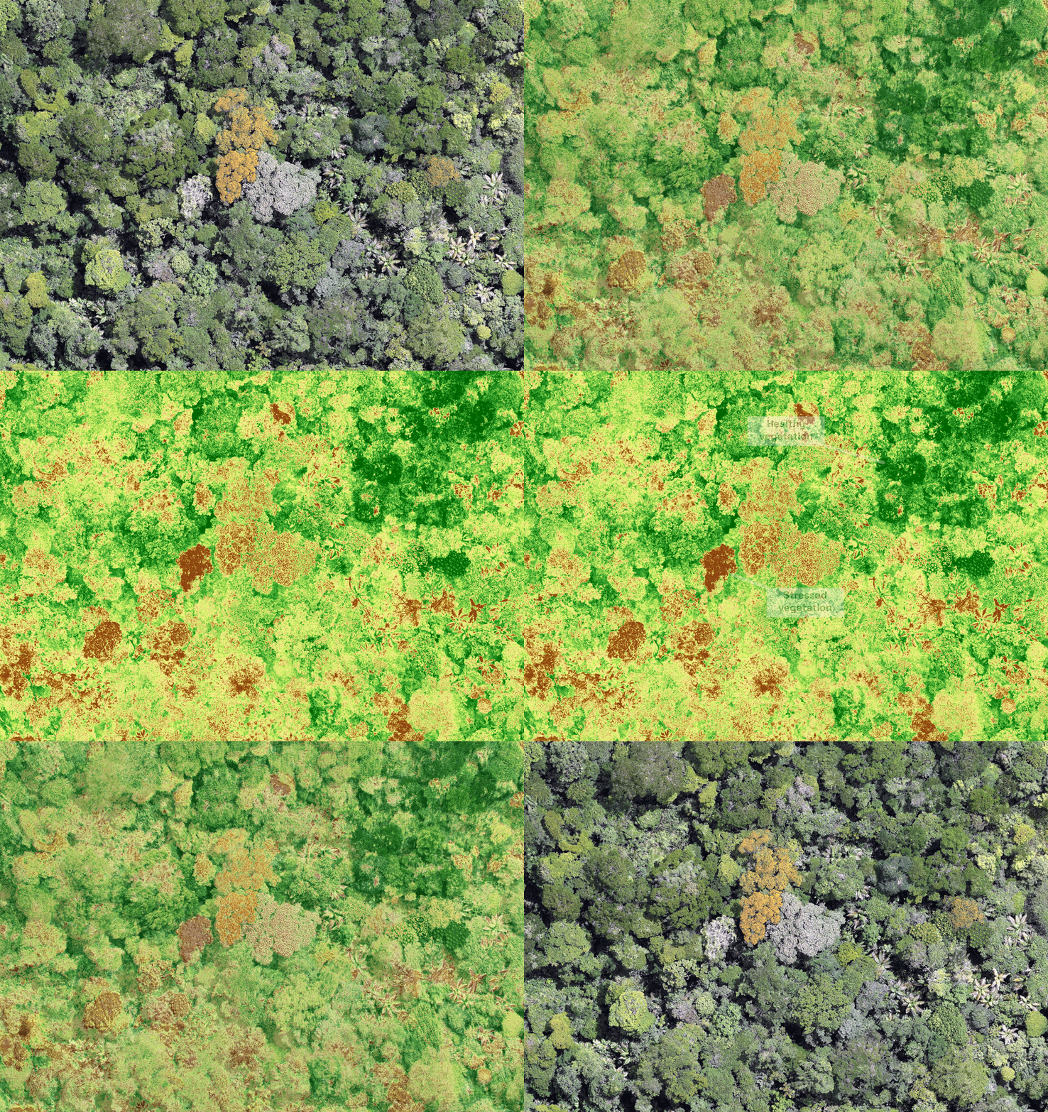
Landscape Surveys
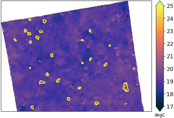
Population Counts
Animal Tracking