Our Solutions.
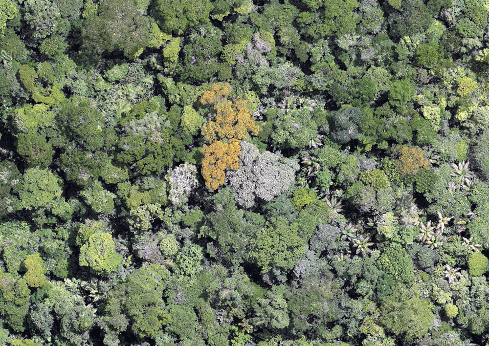
Today we provide animal population and land surveys to get conservationists key baseline and monitoring data.

Using the most appropriate technologies, CTA provides solutions as a service, meaning we own, integrate, and implement technologies to meet each organization’s needs.
We offer science and technology assessment along with testing and implementing technologies. This way, our partners benefit from the entire spectrum of available technologies to accelerate their impact goals.
How we work.
How we accomplish this:
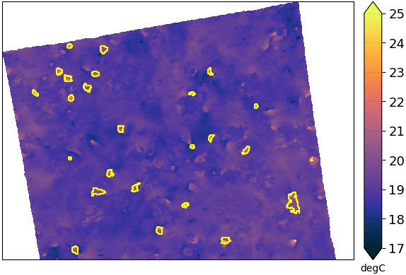
CTA uses enterprise technology for conservation data collection.
We purchase, integrate, prototype, test, and implement population and land surveying solutions.
To help offset our technology costs, we charge conservationists an affordable fee for our surveying services.
We select partners through an application and referral process to ensure our services are optimally utilized. Our goal is to provide solutions that work not just for one organization or geography but have broad applicability for the field.
Assessment
We work with conservationists to understand their goals and key success indicators.
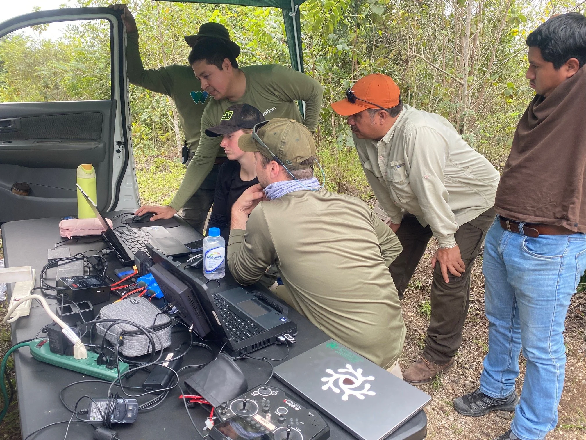
Testing and Integration
We leverage our engineering team and testing partners like this system at the San Francisco Zoo.

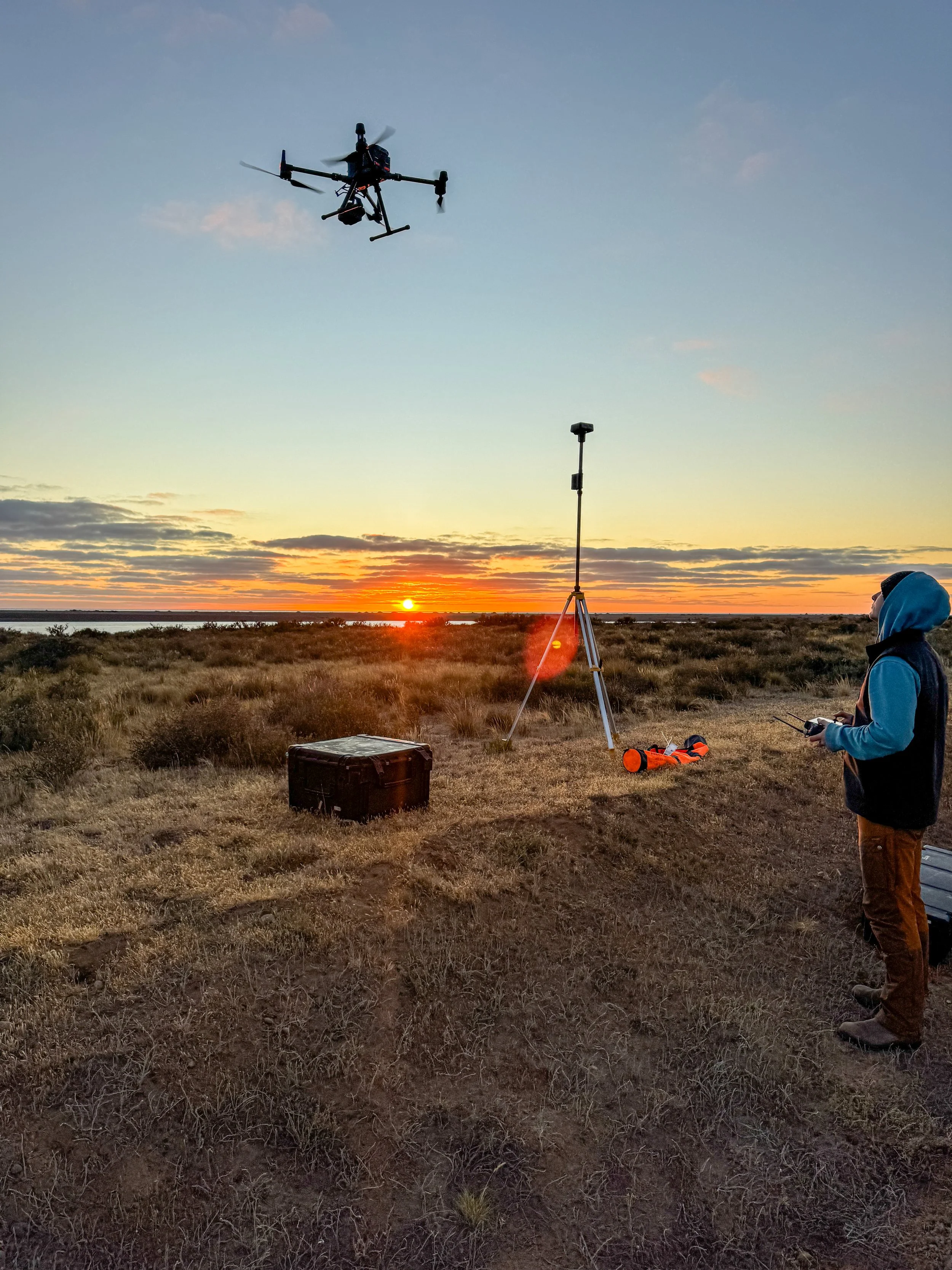
Implementation
We take our gear out, collect the data and analyze it, providing all relevant data and analysis to our client.
Our Tools.
Through successful conservation partnerships, we’ve developed adaptable tools that can be applied to new projects and data needs.
Animal Counter.